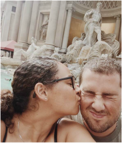
Exploring the Southwest

|
|
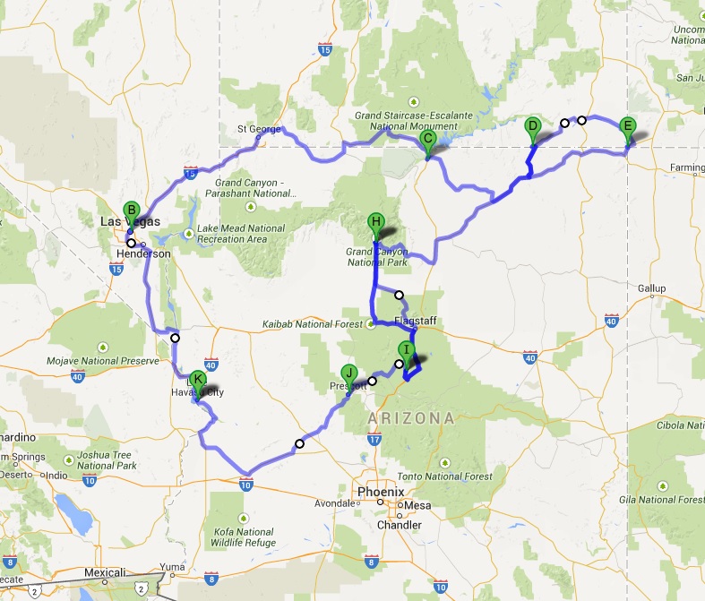
Our 2,014 mile road trip of the American Southwest started in Lake Havasu City, took us North to Las Vegas, Northeast to St. George, Utah, east through Monument Valley and to the Four Corners Monument, and down to the Grand Canyon, Flagstaff, Sedona, Prescott, and back to Havasu. Along the way we saw Lake Powell, Virgin River Gorge, and numerous Cracker Barrel Old Country Stores.
Tri-State Area |
Our trip started in Lake Havasu City, AZ. From there, we headed north towards Kingman to get to Route 66. We climbed the Sitgreaves Pass (the hardest pass on all of Route 66) to get to Oatman; an old mining town known for the wild burros that come to the main street. We then drove down Black Mesa to Golden Shores where we were stranded thanks to a monsoon washing out the only road out of town. Finally the road was opened and we continued driving through the Fort Mojave Indian Reservation to Bullhead City, AZ and Laughlin, NV before heading to Las Vegas.
|
Las Vegas, Nevada |
After driving through the Tri-State area, we headed north to Las Vegas. On the way we stopped by Boulder City, Nevada to walk across the Mike O'Callaghan–Pat Tillman Memorial Bridge (locally known as The Bypass) and see an amazing view of the Hoover Dam, Lake Mead, and the Colorado River. We also stopped at Hemenway Park to get an up-close look at some bighorn sheep. We got to Vegas in the afternoon and that night Taylor got to go to her first Vegas buffet. The rest of our time in Vegas was spent exploring the Strip and historic Downtown Vegas before leaving and heading towards Utah.
|
|

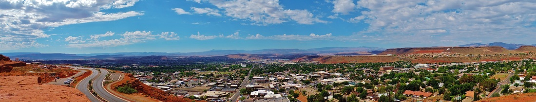
Utah's Dixie |
After leaving, we headed to southern Utah, named Dixie after the South. We drove through the town of St. George, located in a small valley surrounded by red rocks and home to some historical Mormon landmarks such as the first temple in Utah and the only palm trees in the state. We stopped at Pioneer Park known for hiking and rock-climbing. After exploring the Mars-like park we headed east along the Arizona/Utah border.
|
Arizona Strip
|
Next was the area known as the Arizona Strip. This is one of the most remote areas in the country. The Grand Canyon acts as a natural barrier between the Strip and the rest of the state. In order to get to it, you must cross through Utah or Nevada. One of the tiny towns along the way is Colorado City, located in Arizona on the Utah border. It is home to the FLDS group, an offshoot of Mormonism that evolved into more of a cult led by Warren Jeffs. Polygamy is practiced and people dress like pioneers and live in third-world conditions. After driving another few hours, we arrived at Lake Powell. We stopped to see Glen Canyon Dam and bridge. We drove through the town of Page and stopped at Horseshoe Bend—the most famous spot in the upper Grand Canyon. After a short hike to the bend, we headed east into the Navajo Nation.
|
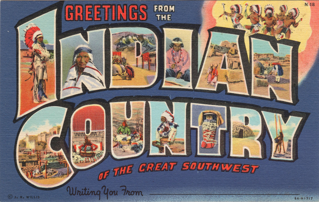
Navajo Country
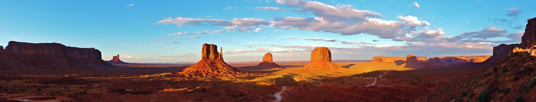
Navajo Country is home to the Navajo Reservation is the largest in the country and home to some of the most famous landmarks of the West and even some wild horses. Passing through the town of Kayenta, the largest on the reservation, the poverty is very obvious. After 14 hours, we finally arrived at Monument Valley on the Arizona/Utah border to watch the sunset over the one of the most stereotypical Western rock formations, The Mittens. The next day, we drove on the Monument Valley Loop, a small dirt road that goes through the amazing rock formations of the valley. While climbing a steep hill behind some slow tourists, our car stalled. After waiting for a while and letting the car cool down, we continued driving back to the paved road.
|
|
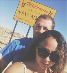
Four Corners Region |
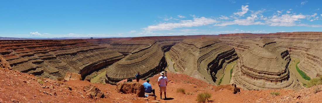
The day after we arrived in Monument Valley, we drove east to the Four Corners. At the monument, we were able to stand in Arizona, Utah, Colorado, and New Mexico all at once. After leaving Four Corners we stopped on a bluff along the San Juan River in Colorado for a view of Shiprock in New Mexico. Once we entered Utah we drove through a few small towns including Bluff, home to the Navajo Twins rock formation. Later, we arrived at Goosenecks State Park in Utah where the San Juan River meanders creating a windy canyon. Finally, we drove (or went off-roading) to Mexican Hat, another rock formation, before driving back to Monument Valley along the famous road most well-known for the spot where Forrest Gump stopped running.
|
|
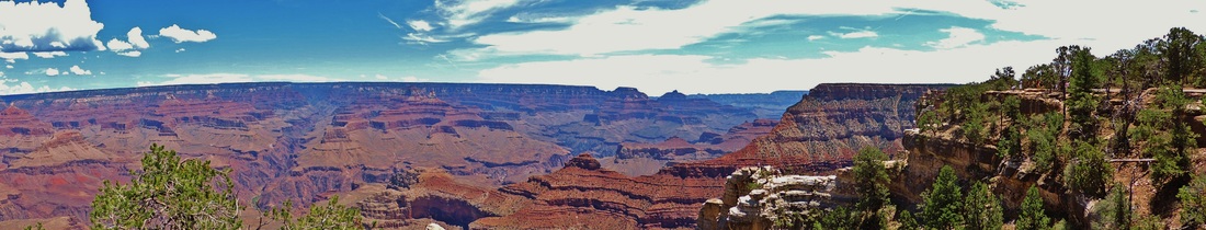
Grand Canyon National Park, Arizona
|
After leaving Navajo Country we headed towards the Grand Canyon. First, we drove along the Little Colorado Canyon before arriving at the Desert View Watchtower at the eastern end of the Grand Canyon. We drove through the forest along the South Rim where we saw some elk. The next day we walked around the edge and stopped at a few viewpoints.
|
Coconino National Forest, Arizona
|
The Coconino National Forest is located between Sedona and the Grand Canyon. We passed through a few times driving between the two places. Most of the area has an elevation of 7,000 feet or more. The San Francisco Peaks, all extinct volcanoes and Arizona's highest peaks, are found here. While in Flagstaff, we were able to stop at one of our favorite restaurants, the Cracker Barrel, and see some elk near Route 180.
|
Sedona, Arizona |
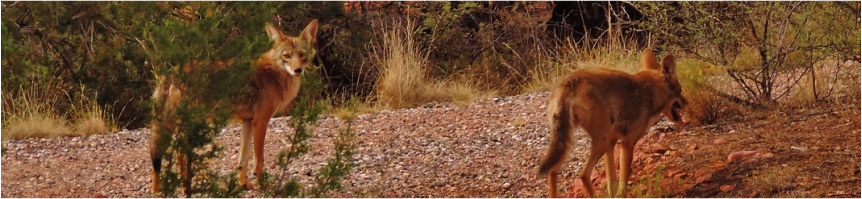
We stayed in Sedona for two days of our trip. We arrived during a storm that caused mudslides and flooding, just before the road was closed and evacuations began. While in Sedona, we saw many of the red rock formations the town is known for, as well as downtown. Before leaving, we hiked at Red Rock State Park where we saw Oak Creek, a few coyotes, and even a snake.
|
|
Yavapai County, Arizona
|
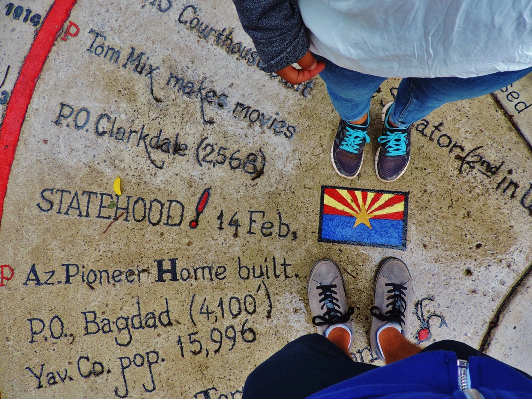
After leaving Sedona, we drove southwest through Yavapai County. After passing the Verde Valley, we headed up Mingus Mountain to the "Steepest Town on Earth," Jerome; an old mining town known for bars and brothels. The town is now a mix of artists and bikers. After, we took a quick stop at Mingus Lake in the Prescott National Forest before heading down the mountain to Prescott Valley. We went to Cracker Barrel while waiting for another thunderstorm to pass before stopping at the Granite Dells and Watson Lake. We walked around Whiskey Row, Prescott's downtown. This was Arizona's first capital and now home to the Yavapai County Courthouse.
|
Drive Back
After leaving Prescott, we headed back to Lake Havasu. We drove through the Prescott National Forest and into Peeples Valley. The valley is home to Yarnell-a town almost completely destroyed by a wildfire that killed 19 Prescott firefighters. We went down the Yarnell Grade, known as "where the desert breeze meets the mountain air" and into the town of Congress. We stopped at Frog Rock, one of the many unique roadside sights in the desert. From there we continued west through the small desert towns of Maricopa and La Paz Counties. Shortly after passing the town of Hope, we were able to see a desert sunset. We drove in the dark through Bouse and Parker, and finally arrived back in Lake Havasu City.
